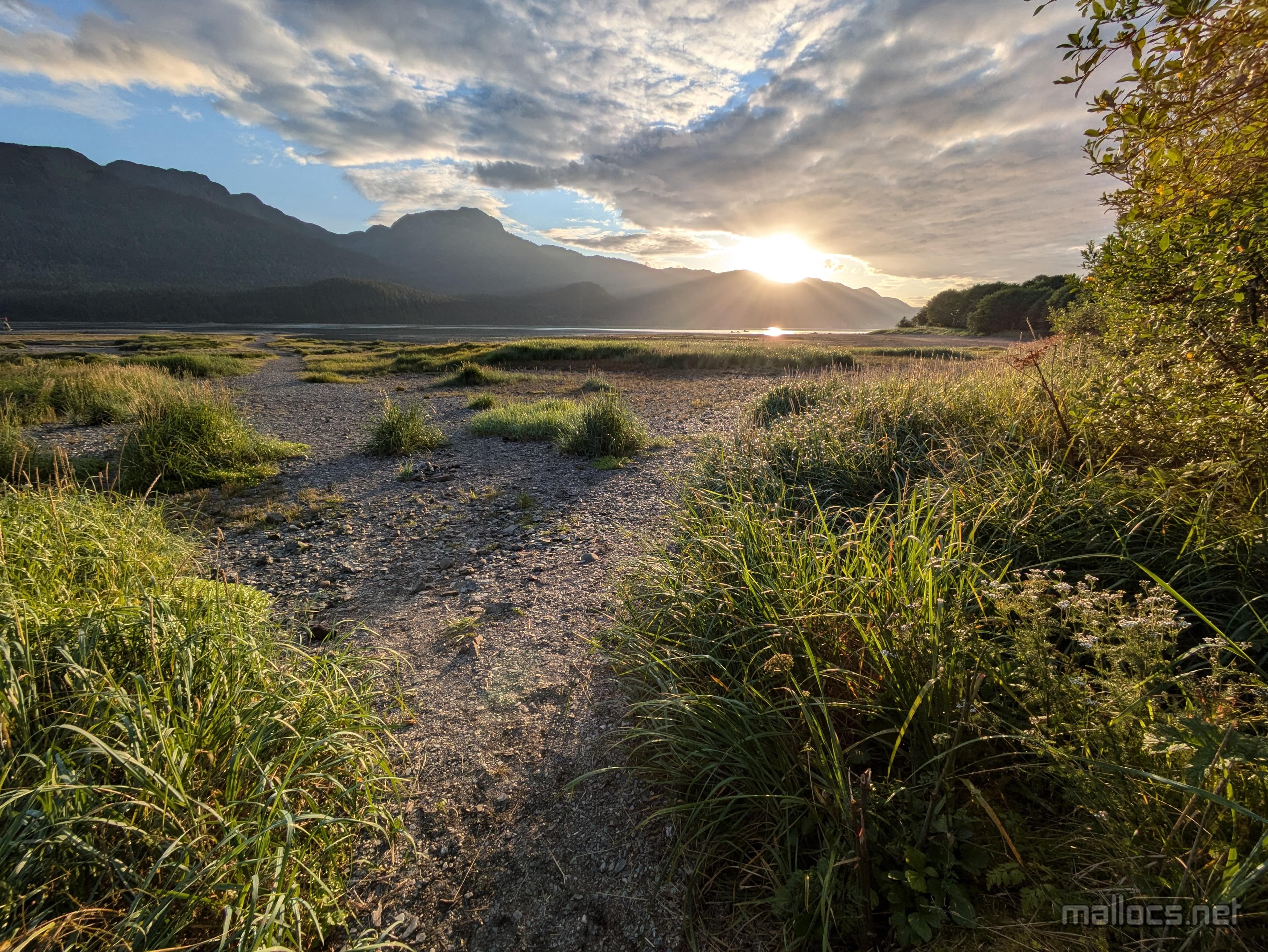
Sunset after a short ride and hike south to DuPont Beach.
Juneau Day 3: Pt. Bishop Trail
Juneau Day 3: Pt. Bishop Trail
 Marcus Ulrich
Heading south to the Point Bishop trail, my plan was for an easier day. While it is flatter, this trail turned out to be one of the hardest hikes I've been on. Take the tangle of roots and rocks from the Mt. Juneau trail I attempted the day before and have it go through a swamp.
Once again I left the hotel nice and early at 3 p.m. The ride to the trailhead is about 6 miles each way and the trail is 7.7 miles which I figured would be doable since it's flat.
Riding out of town there was a little bit of traffic, but Juneau is small and I was soon pedaling along the mostly quiet Thane Road. Traffic in Juneau is some of the most respectful of cyclists I've ever experienced.
After a quick stop to admire the spawning and dying salmon in Sheep Creek, I made it to the trailhead. The start is a little confusing as the road ends and an obvious dirt road continues but it has a menacing 'No Trespassing' sign. The actual trail is an overgrown path slightly right of the dirt road.
My first obstacle was a sturdy looking bridge that looked dangerously bent out of shape. Despite beams thicker than my legs, it was twisted up like something in a funhouse except 20 feet above a roaring creek. None of the beams were split though, so I decided it probably wouldn't snap under my weight.
The trail continues in a similar fashion for the first two miles with bridges and later planks and later smaller planks making it possible to cross the wetlands that are continually reclaiming the trail.
After a while, I looked at my phone to check my progress and it looked like I must be close to the halfway point. Instead, a short time later there was a sign for DuPont Beach and another arrow pointing to Pt. Bishop 5 miles away. I was barely a third of the way there. I'd made terrible time!
The nice part was that since it was 5 p.m. I knew there was no way I could make it to Pt. Bishop. So of course I decided to keep going. Just to check.
Sure enough, the trail after DuPont Beach is a barely visible path through the wetlands. After going a couple hundred feet, I was stepping in mud up to my ankles. Fortunately, it's easy to follow the trail because if you get off trail it's impossible to make forward progress through the dense vegetation.
I turned around and headed the short distance to DuPont Beach getting there just in time to see the first of many cruise ships and various other boats go by while I was there.
Despite, or maybe because of, the extremely rugged conditions, this was my favorite Juneau adventure so far. Sometimes it's nice to get shut down by nature and then just have to sit and watch the cruise ships go by.
If you really want to complete the whole hike all the way to Pt. Bishop you'd probably want to plan on extra time and seriously muddy conditions. Or you could cheat and hire a boat.
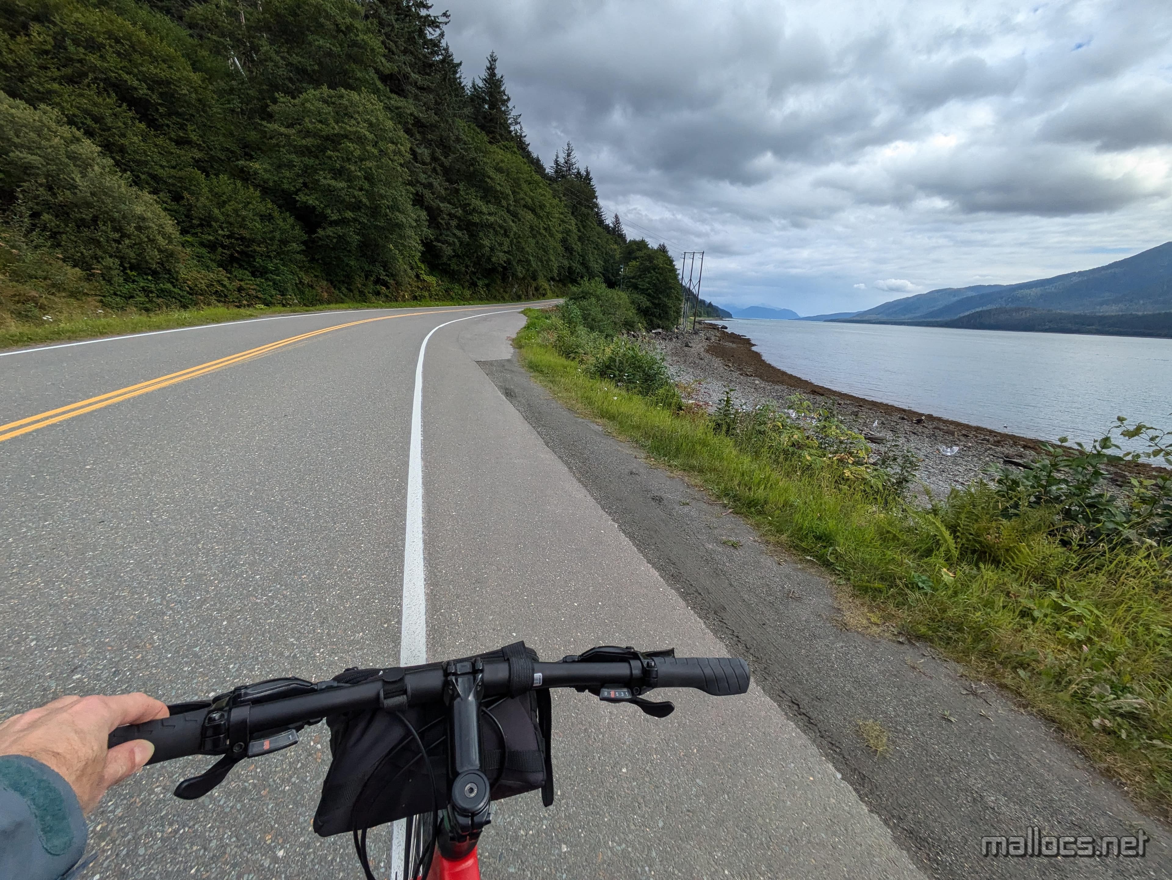
My plan was to have a relatively easy day and just ride a few miles to a trail south of Juneau. This ride was much more pleasant than the one to the Mendenhall Glacier with light traffic and drivers who gave me tons of room.
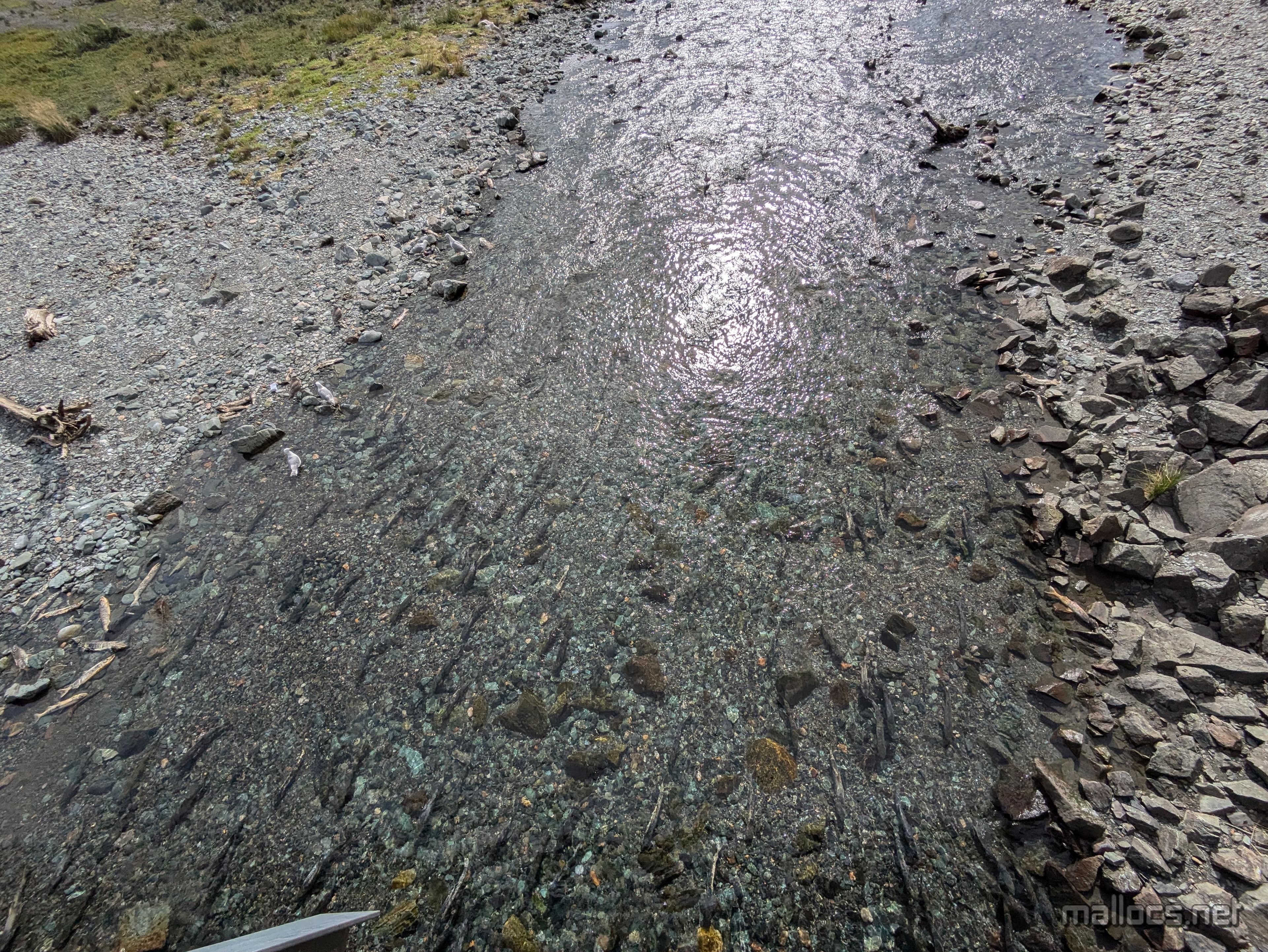
Sheep Creek. More salmon spawning and dying. Not the best smelling place to hang out unless you're a sea gull.
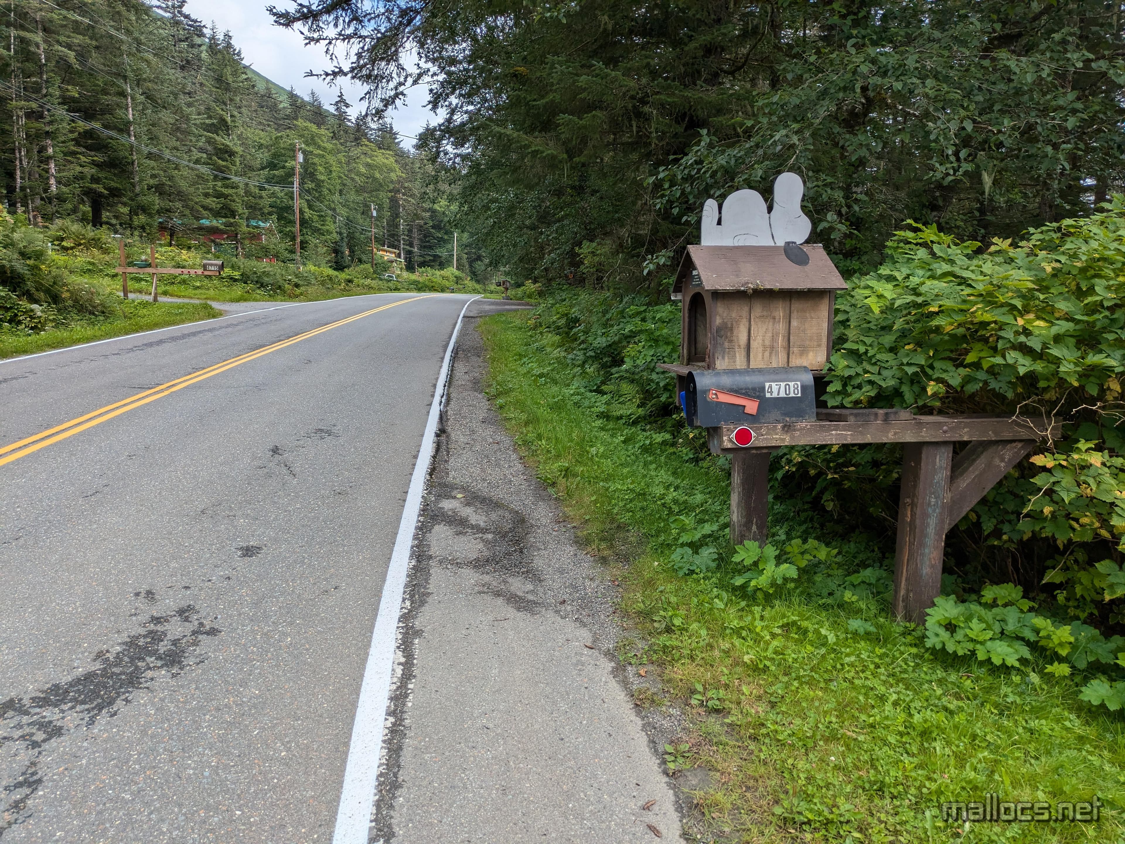
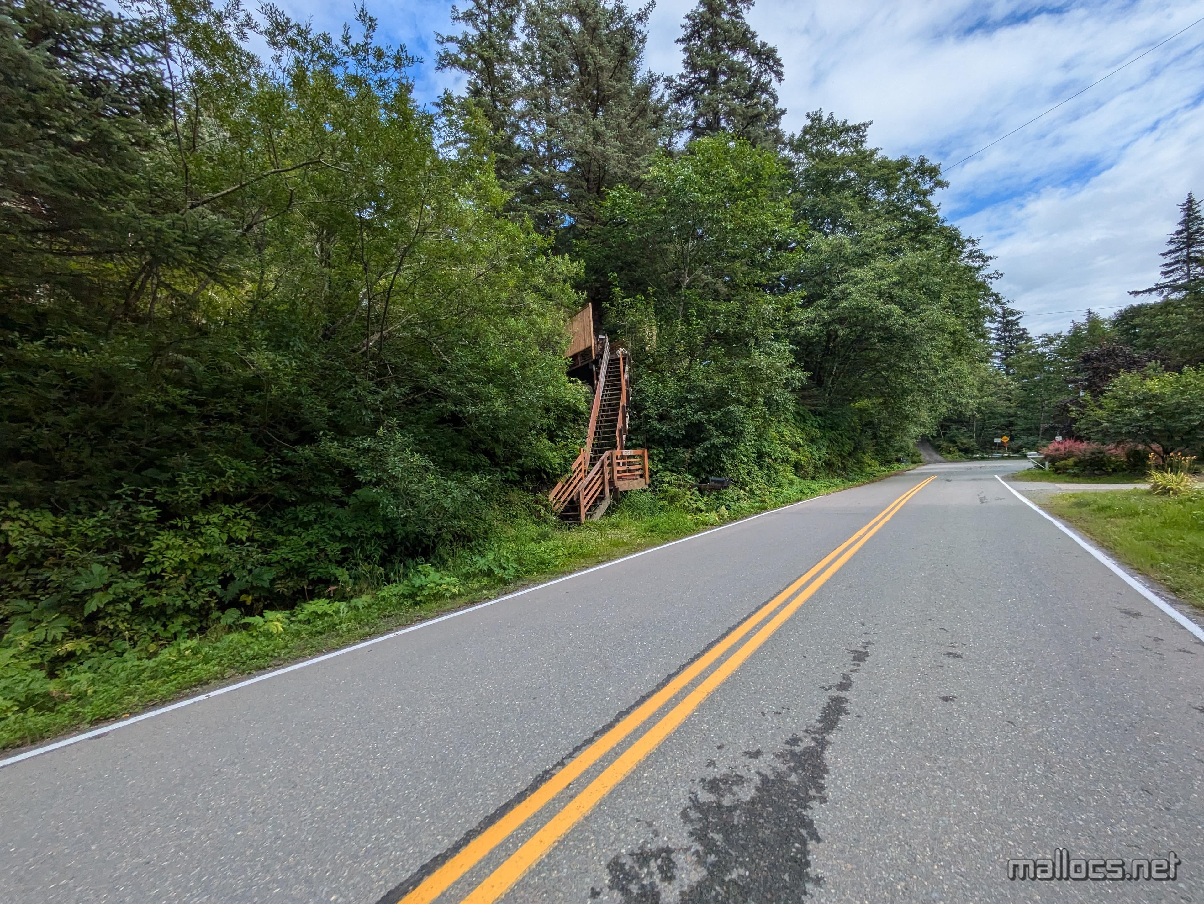
A lot of the houses had staircases up from the road. Probably not very fun if they get snowy and icy in the winter, although the nicer ones were covered.
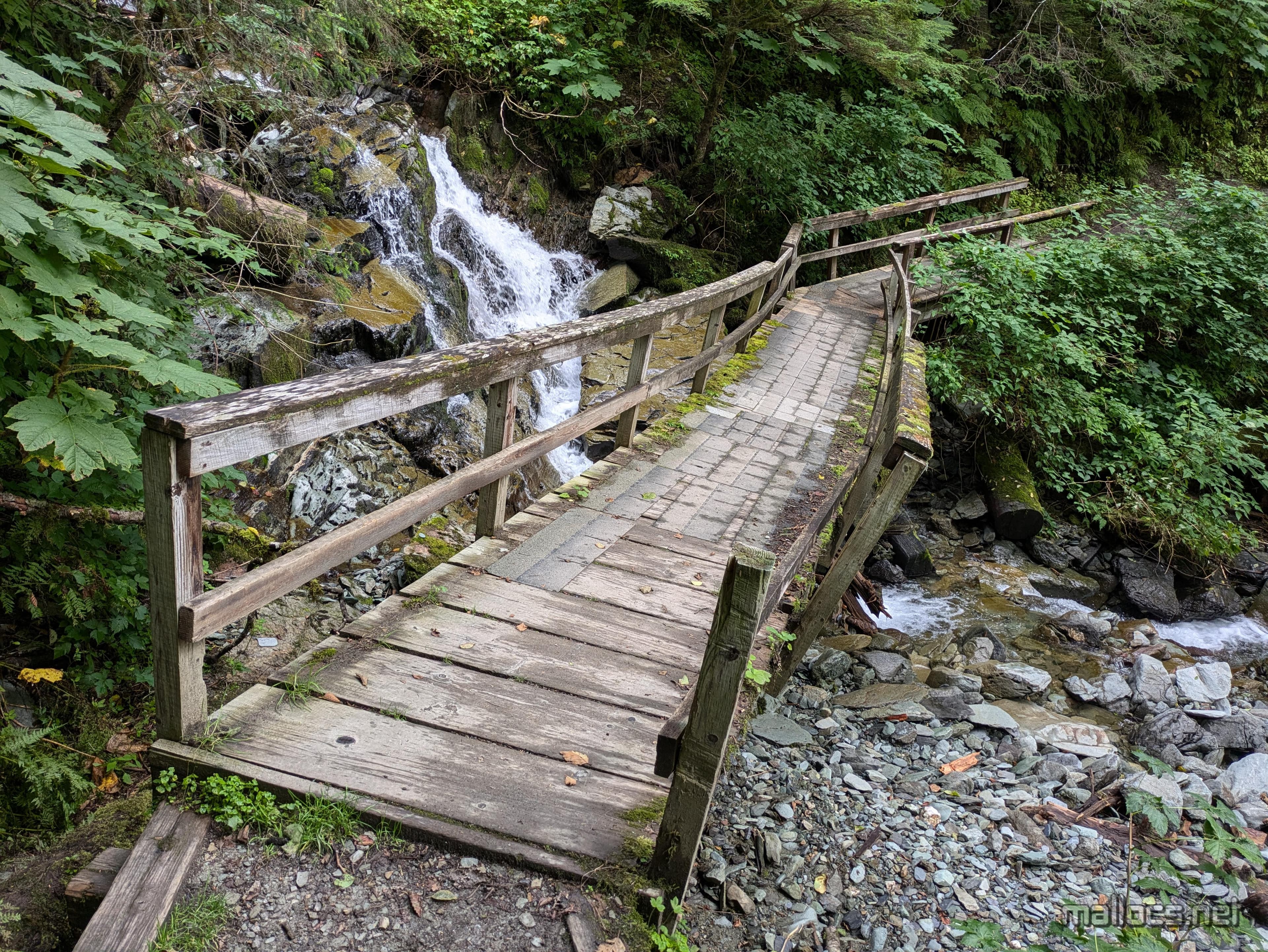
Right at the start of the trail I had to decide whether to cross this bridge. I'd guess it's not actually that old and instead just takes frequent beatings from nature. The beams holding it up were massive albeit twisted and so I decided to cross after some light bounce testing near the start. I wish I knew if it's 20 years old or just one.
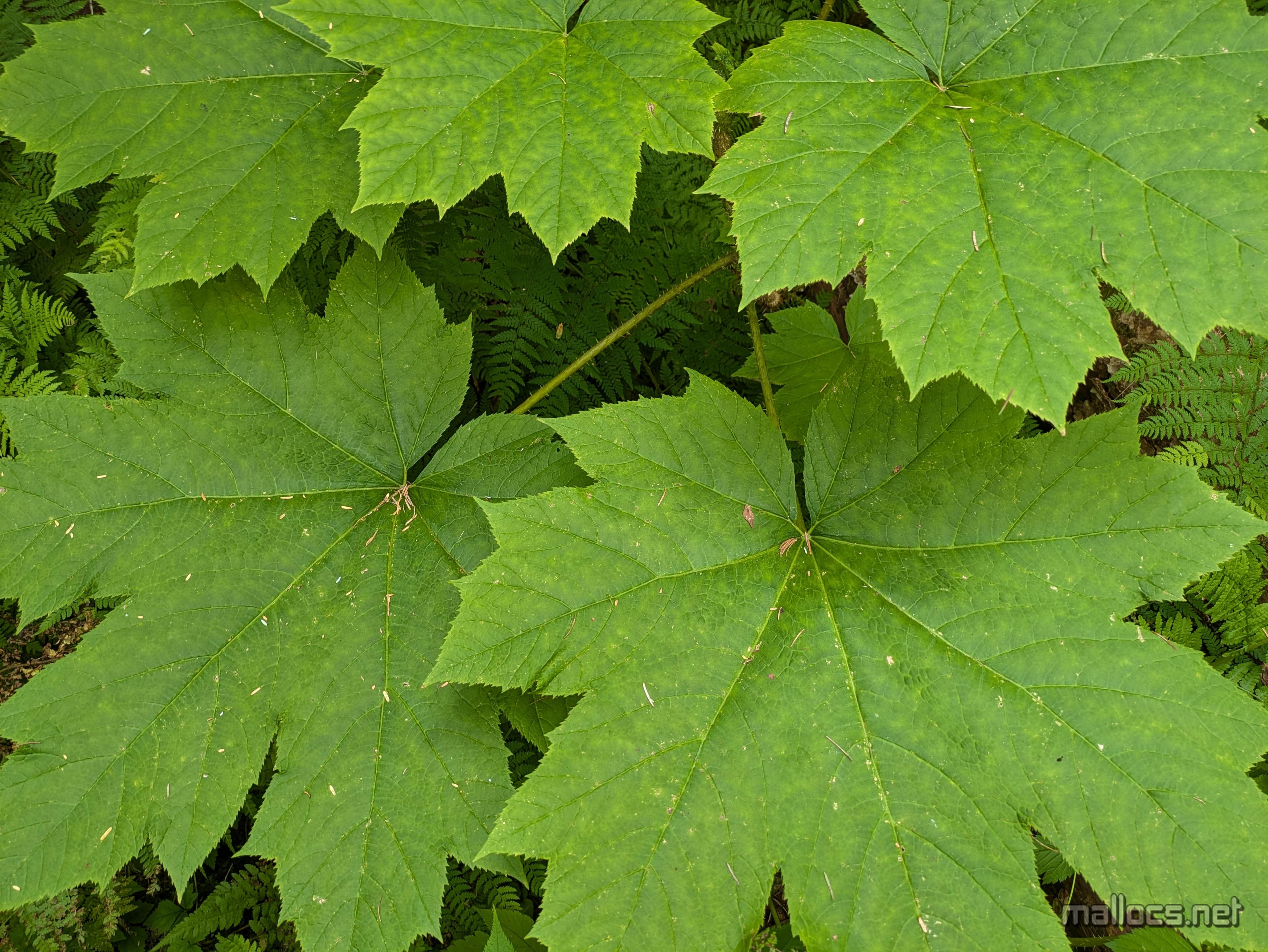
Massive leaves everywhere much larger than my hand.
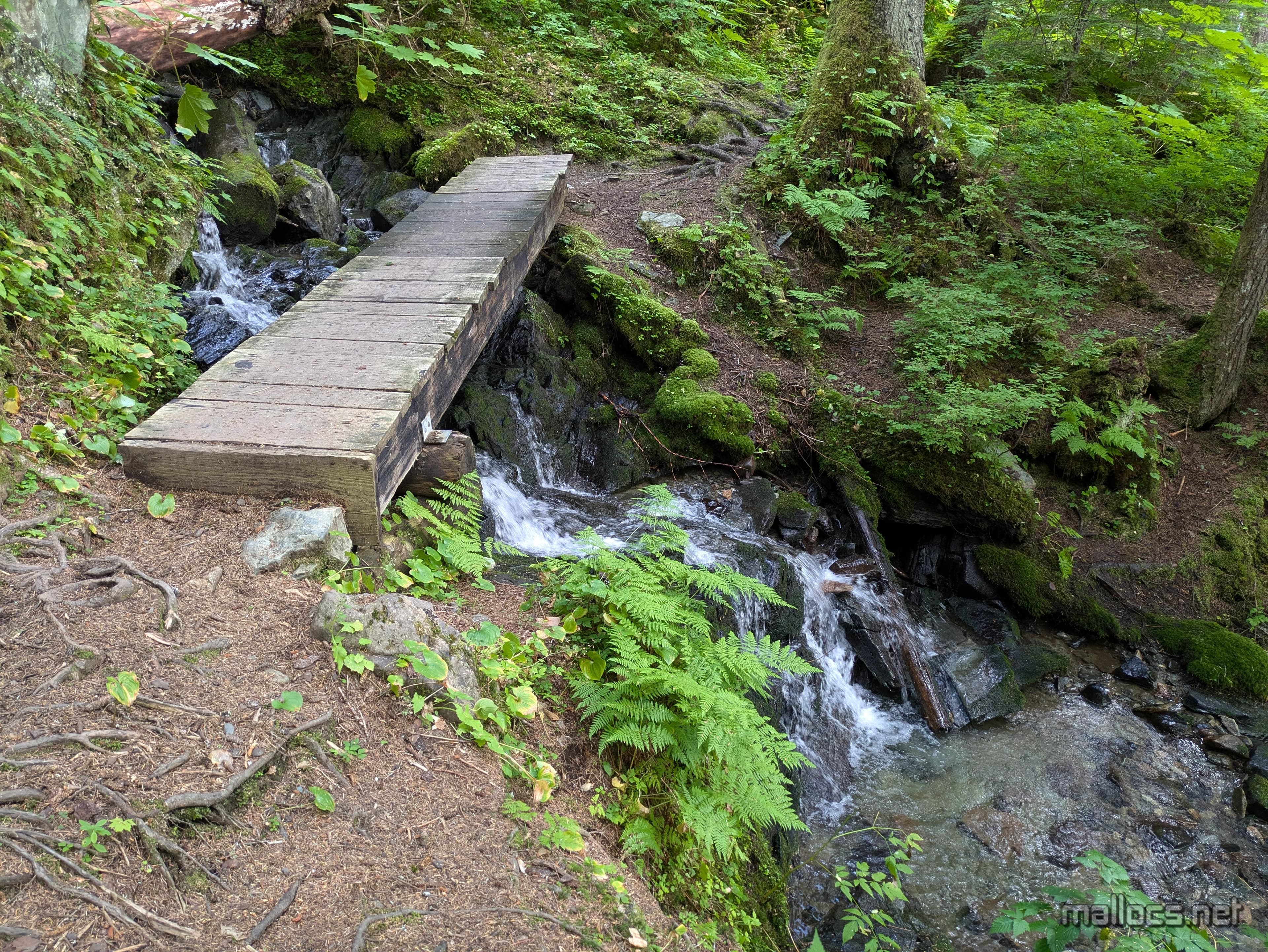
Another bridge. This one in much better shape.
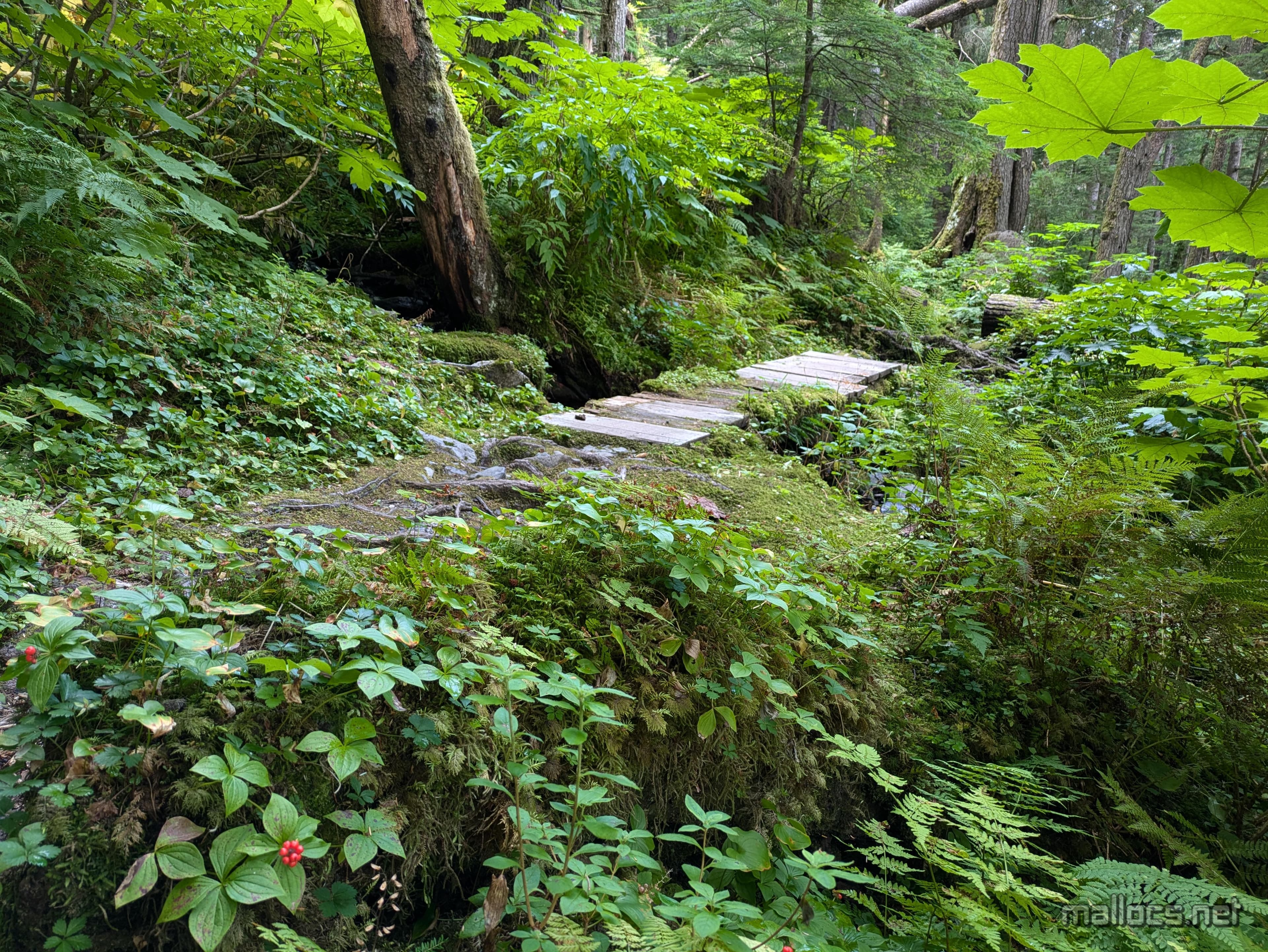
A bridge and berries. I wish I'd studied all the berries in the area before the trip. I think these are Bunchberries.
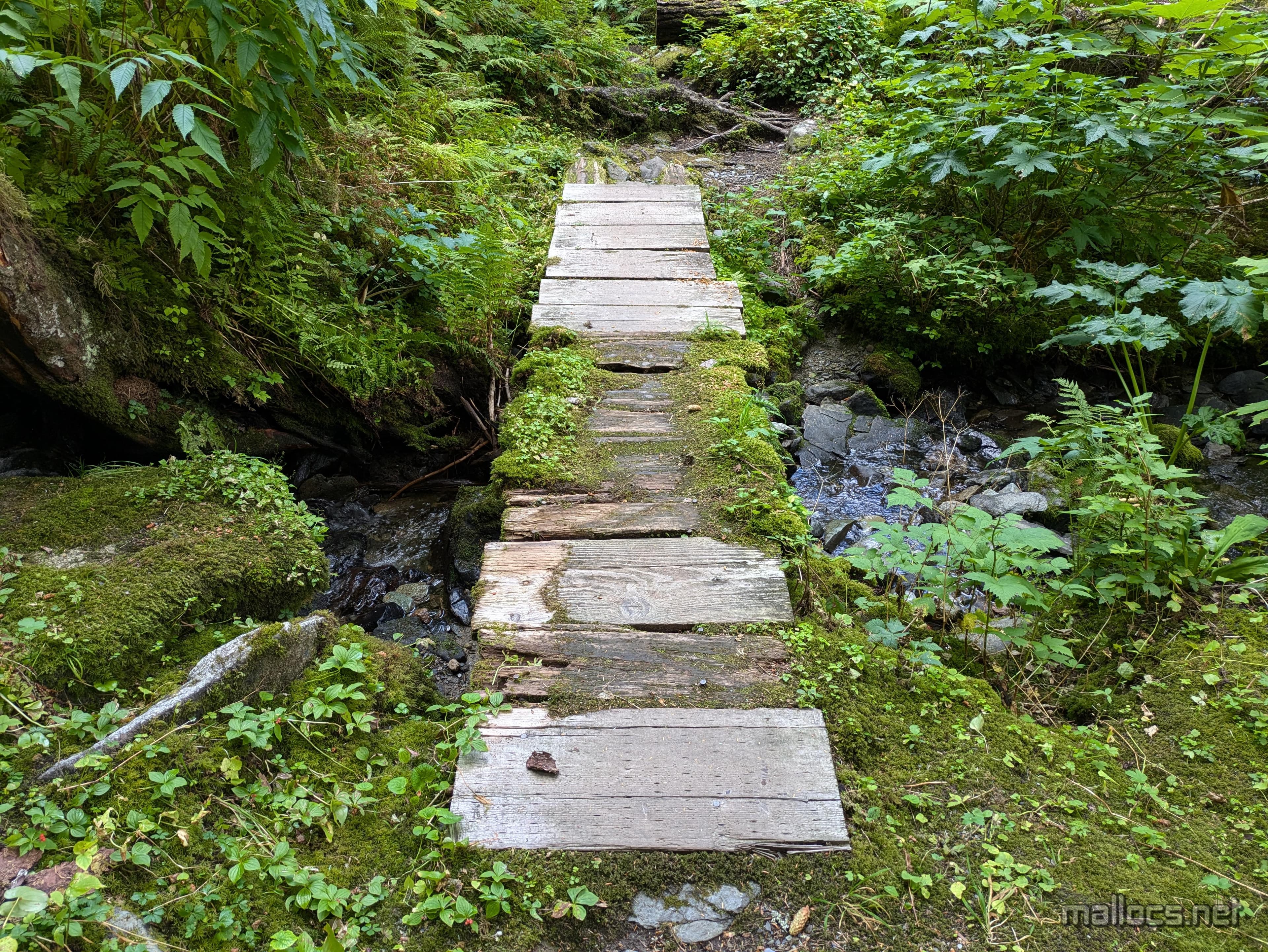
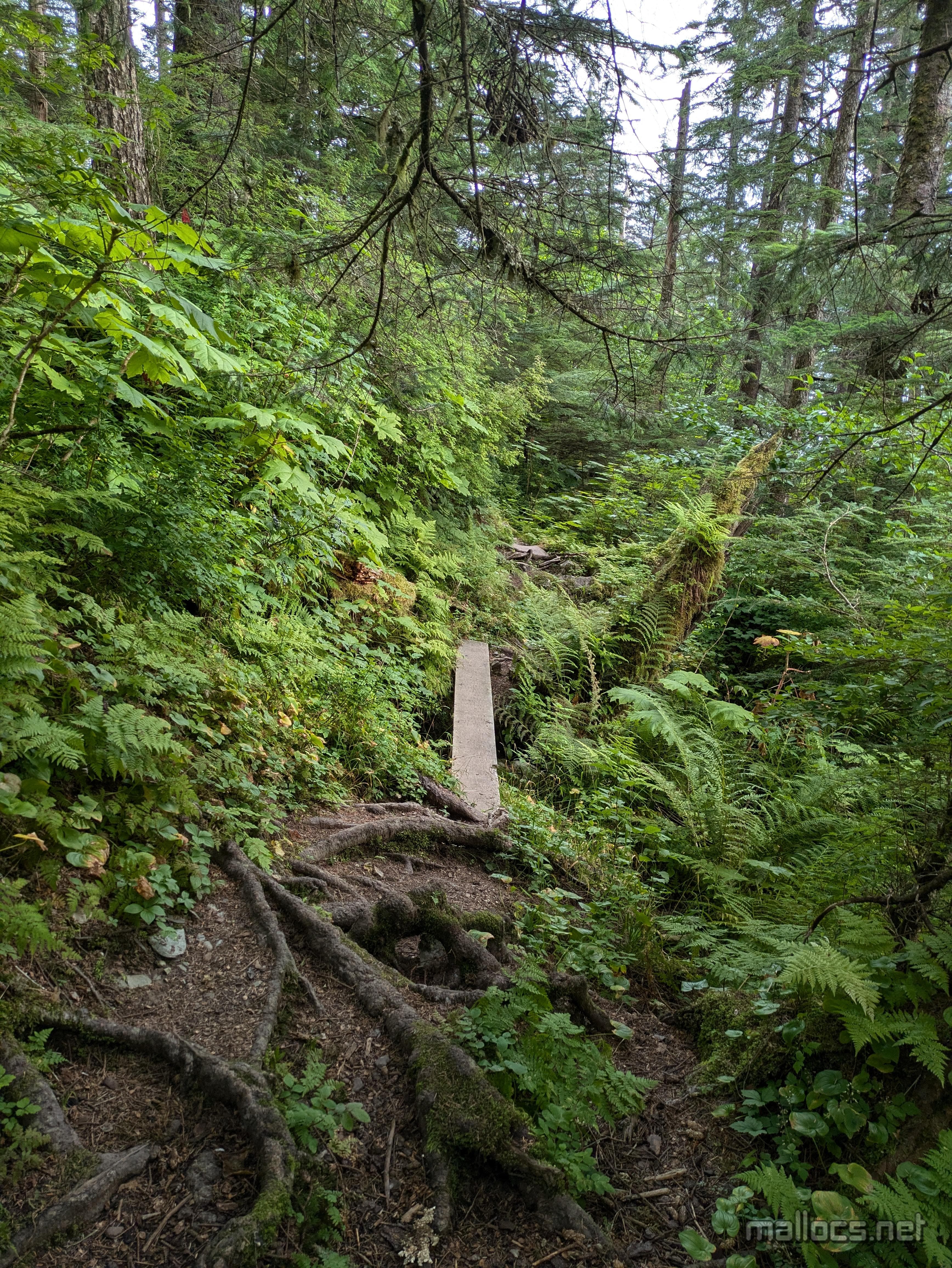
The trail rapidly getting more challenging.
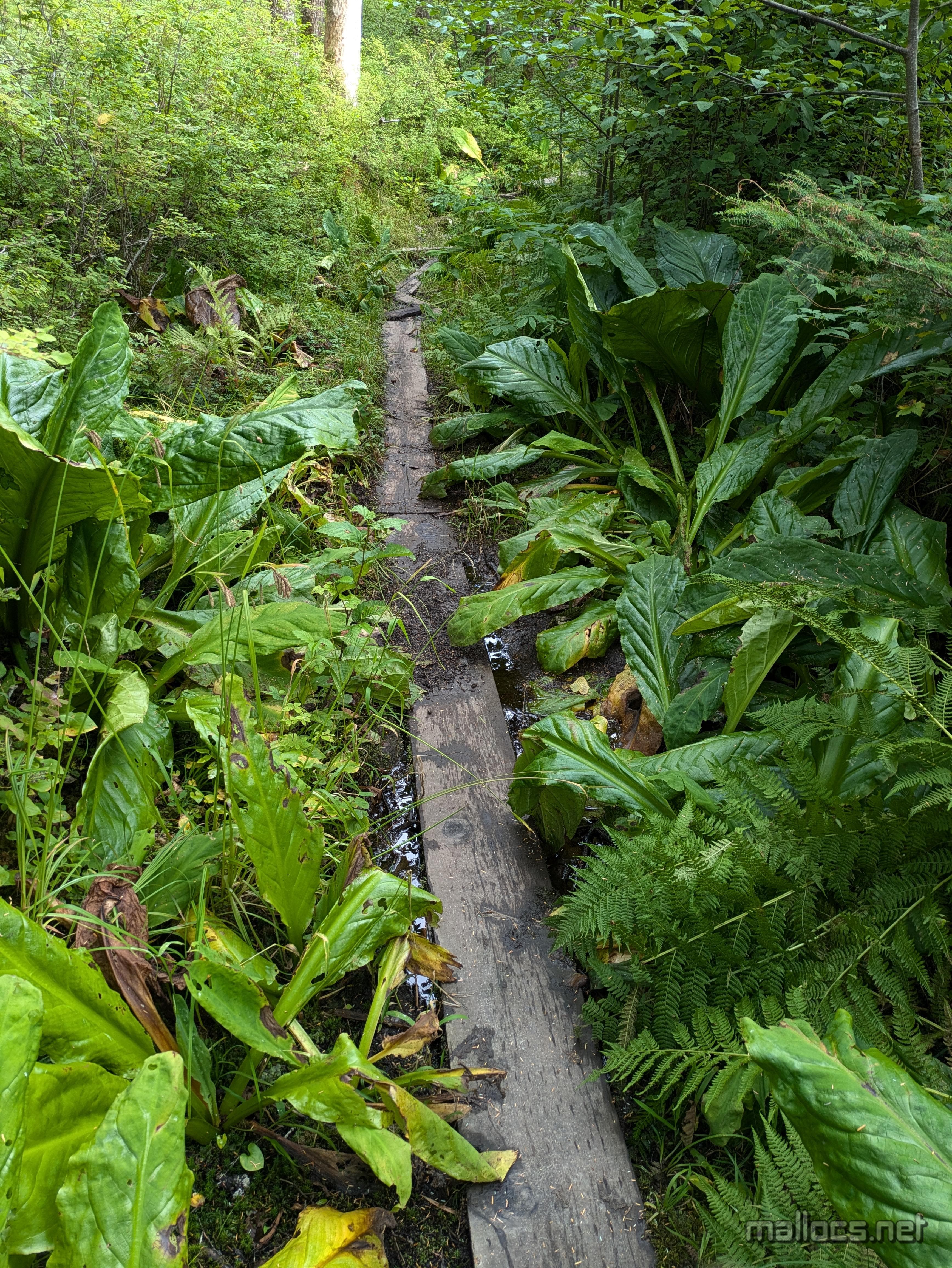
The Forest Service page describes the trail as 'quite muddy'. Yea, it's a swamp.
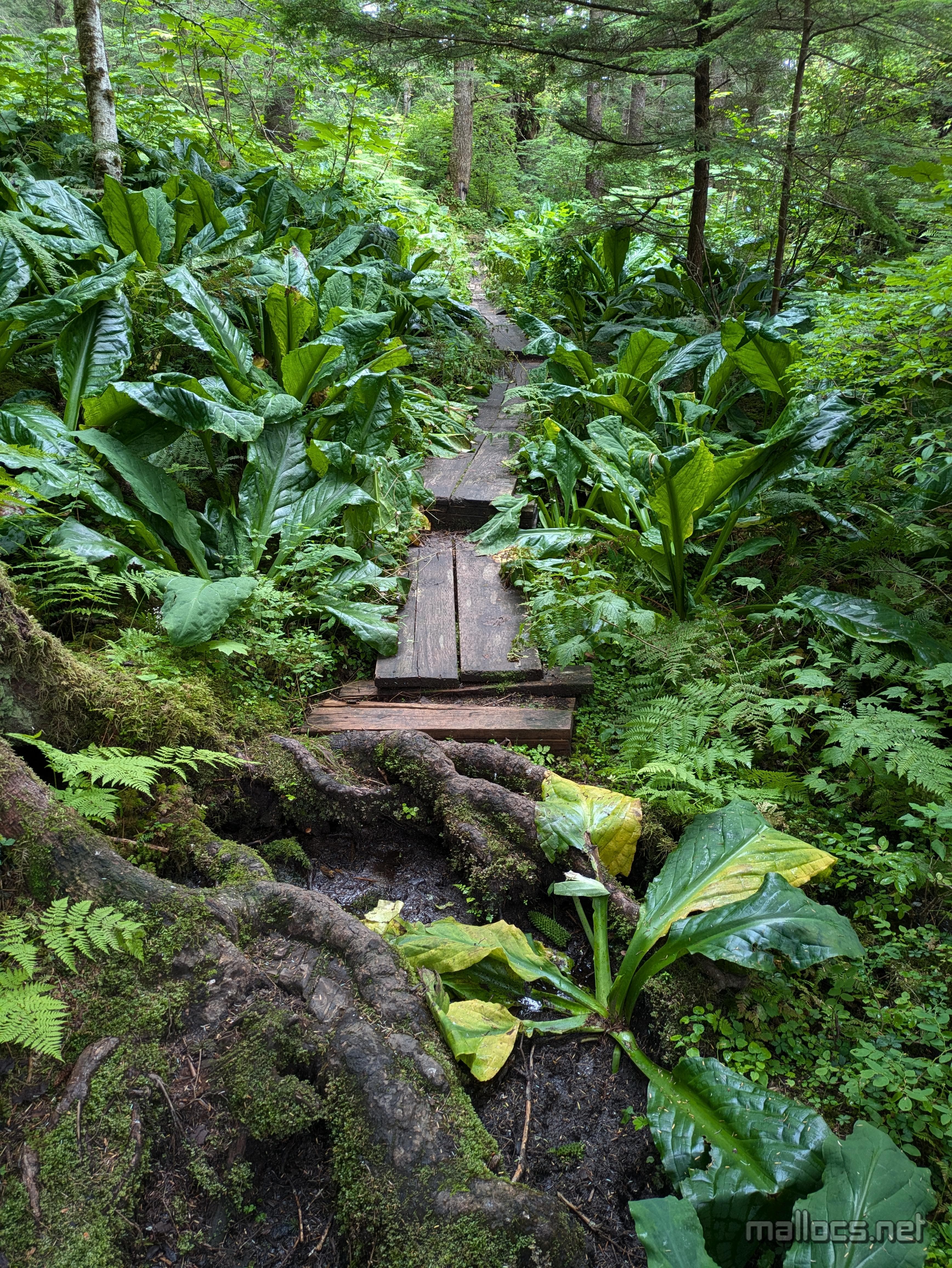
The trail reaches a fork near here. I decided to explore a little past the fork and unsurprisingly the planks became fewer and smaller and after a hundred feet or so I decided to call it when I stepped into ankle deep mud. My goal was another 5 miles and my progress on the 'easy' part was already slow.
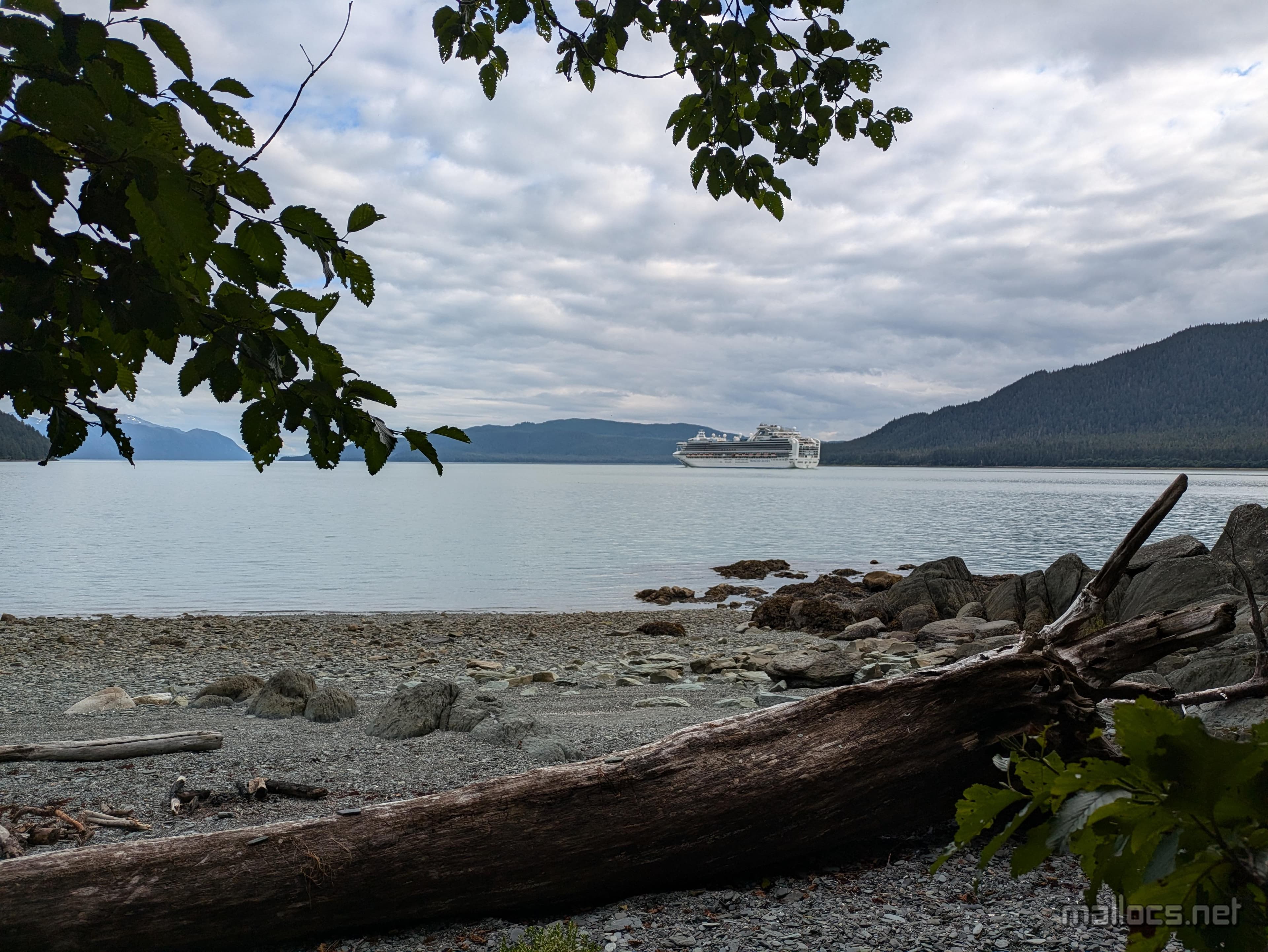
Coming out on DuPont Beach just in time to wave to a cruise ship. The first of many.
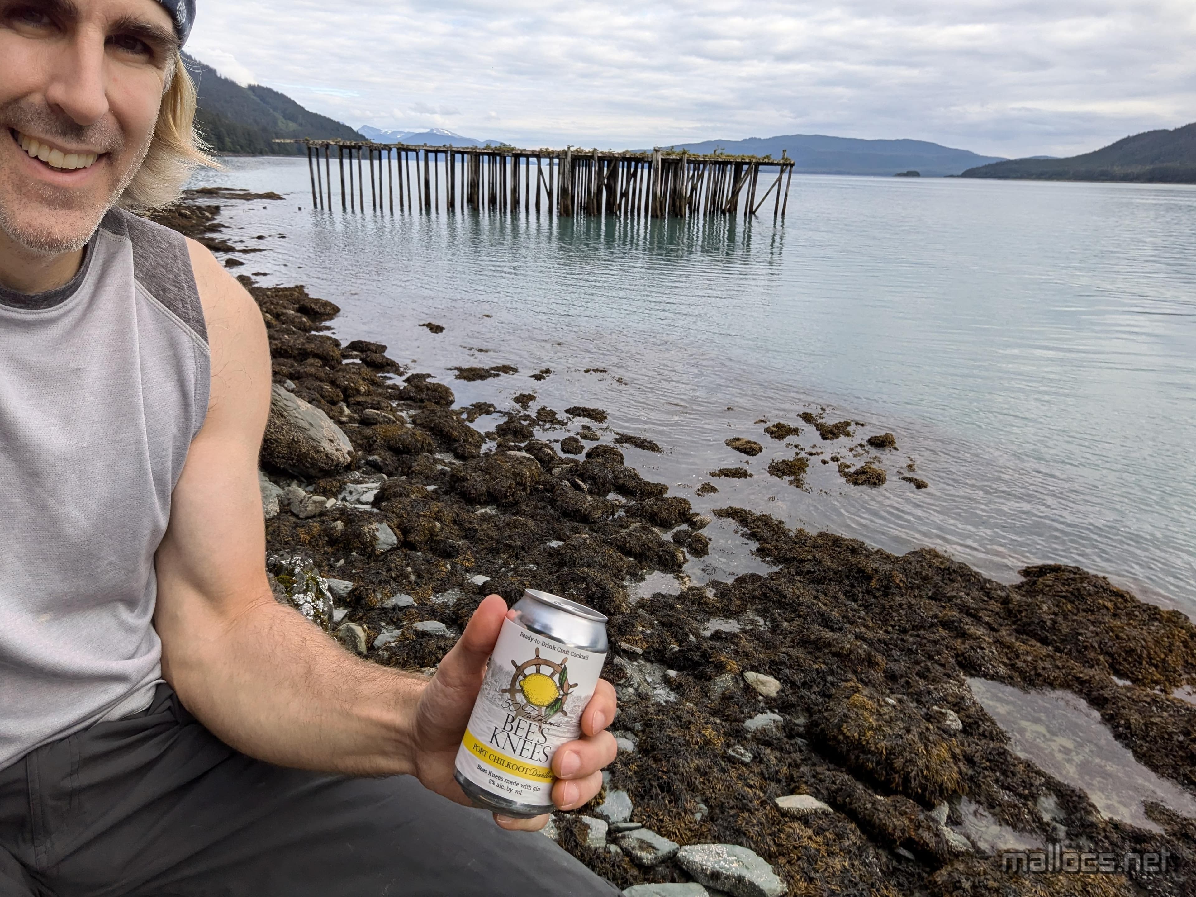
Sometimes it's nice to stop early.
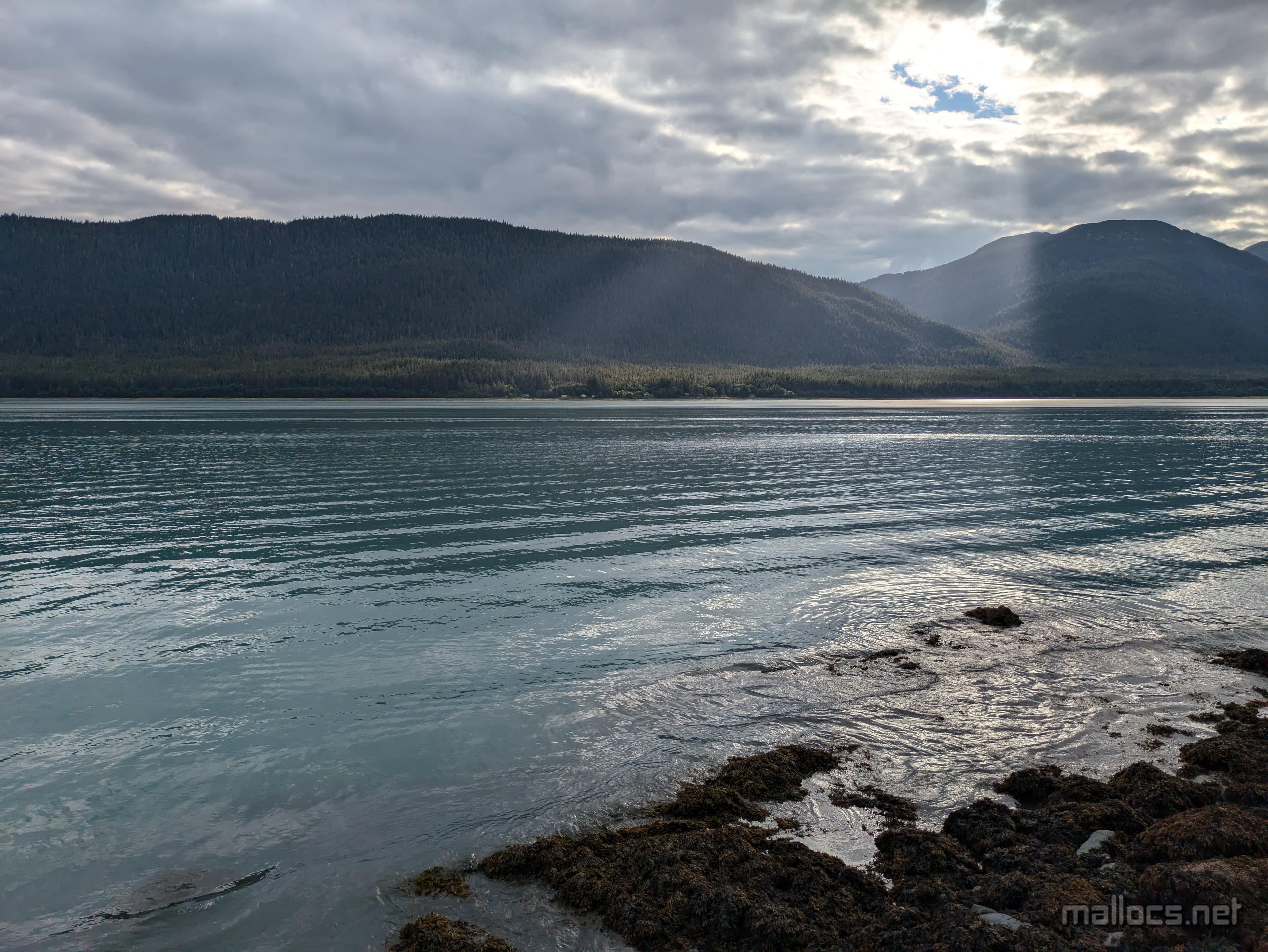
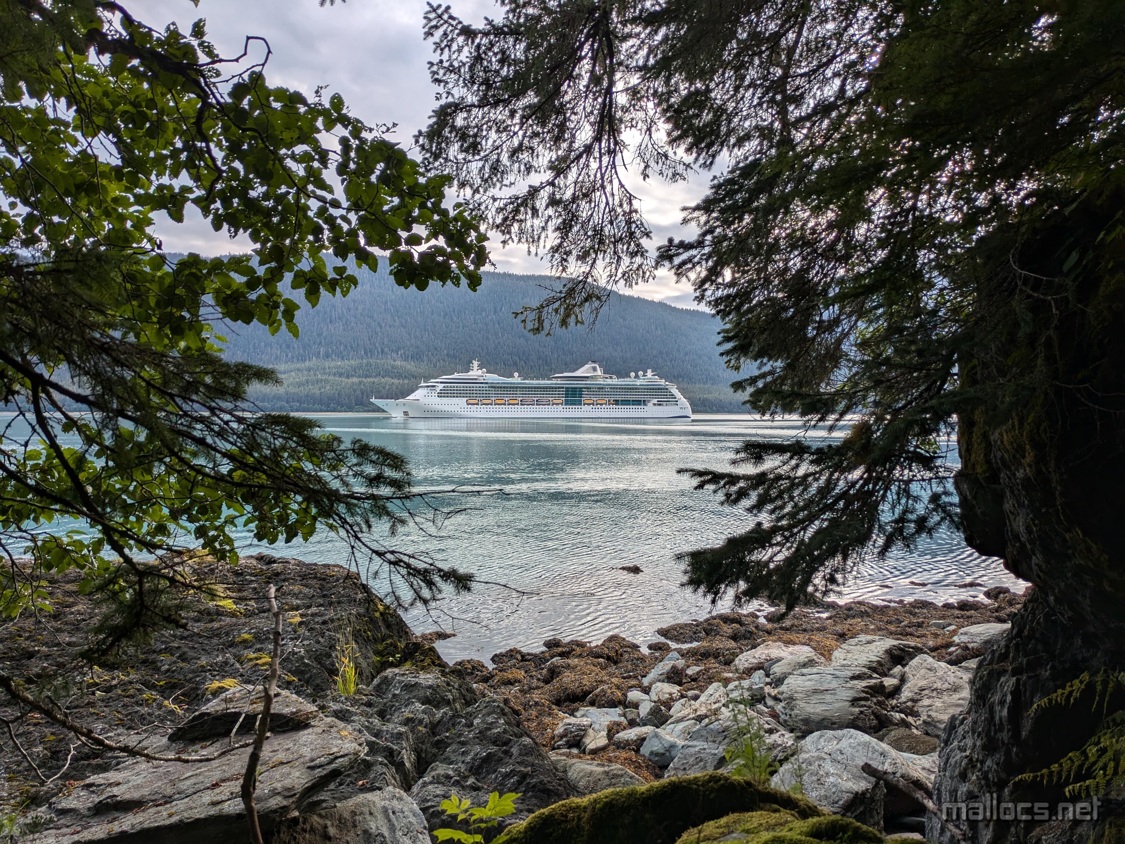
Hiding from the cruise ships.
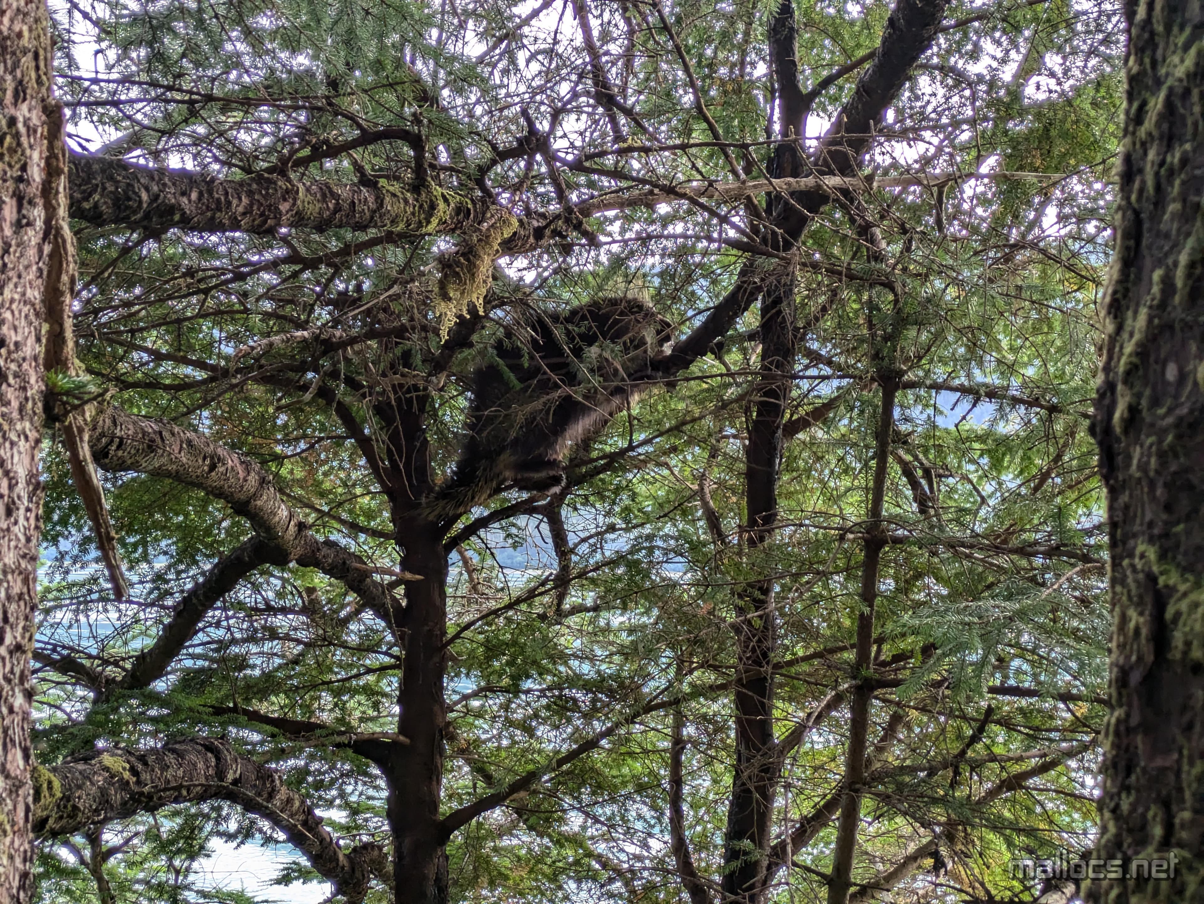
A small bear
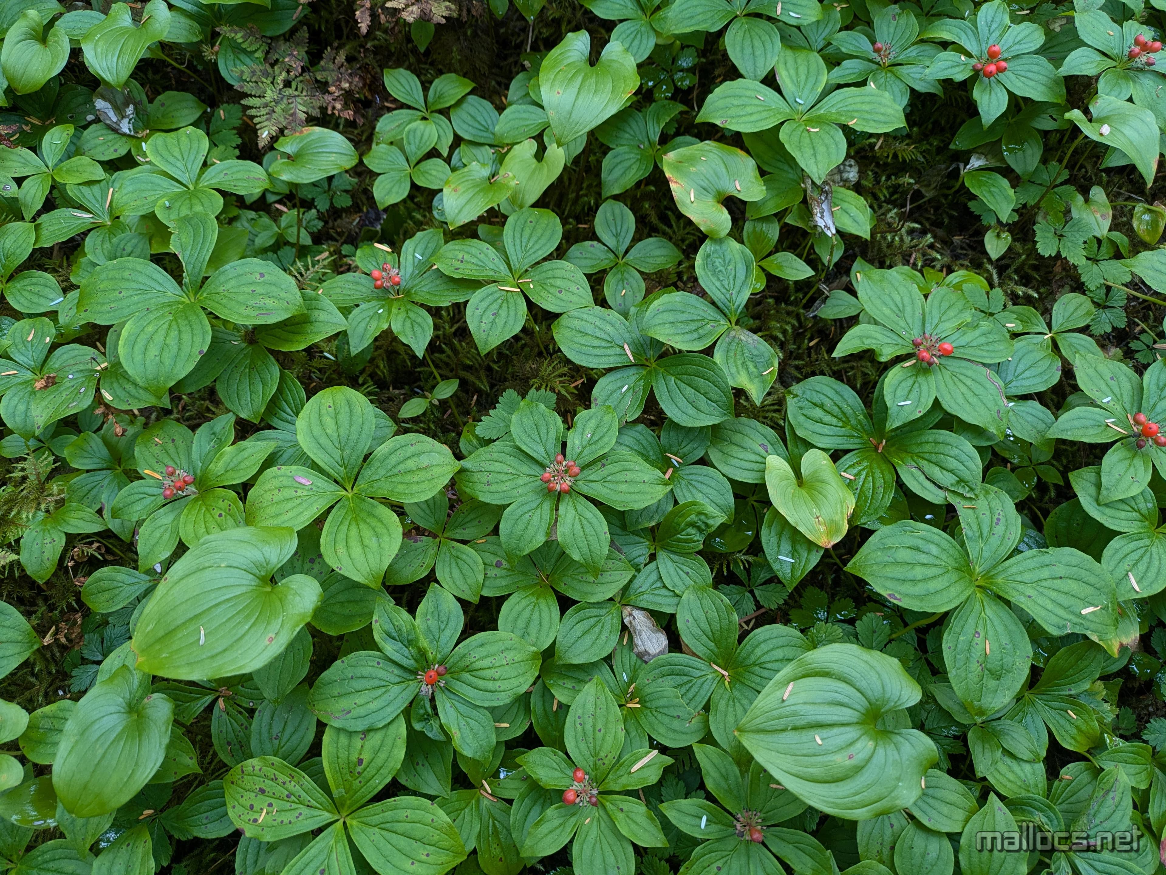
More bunchberries
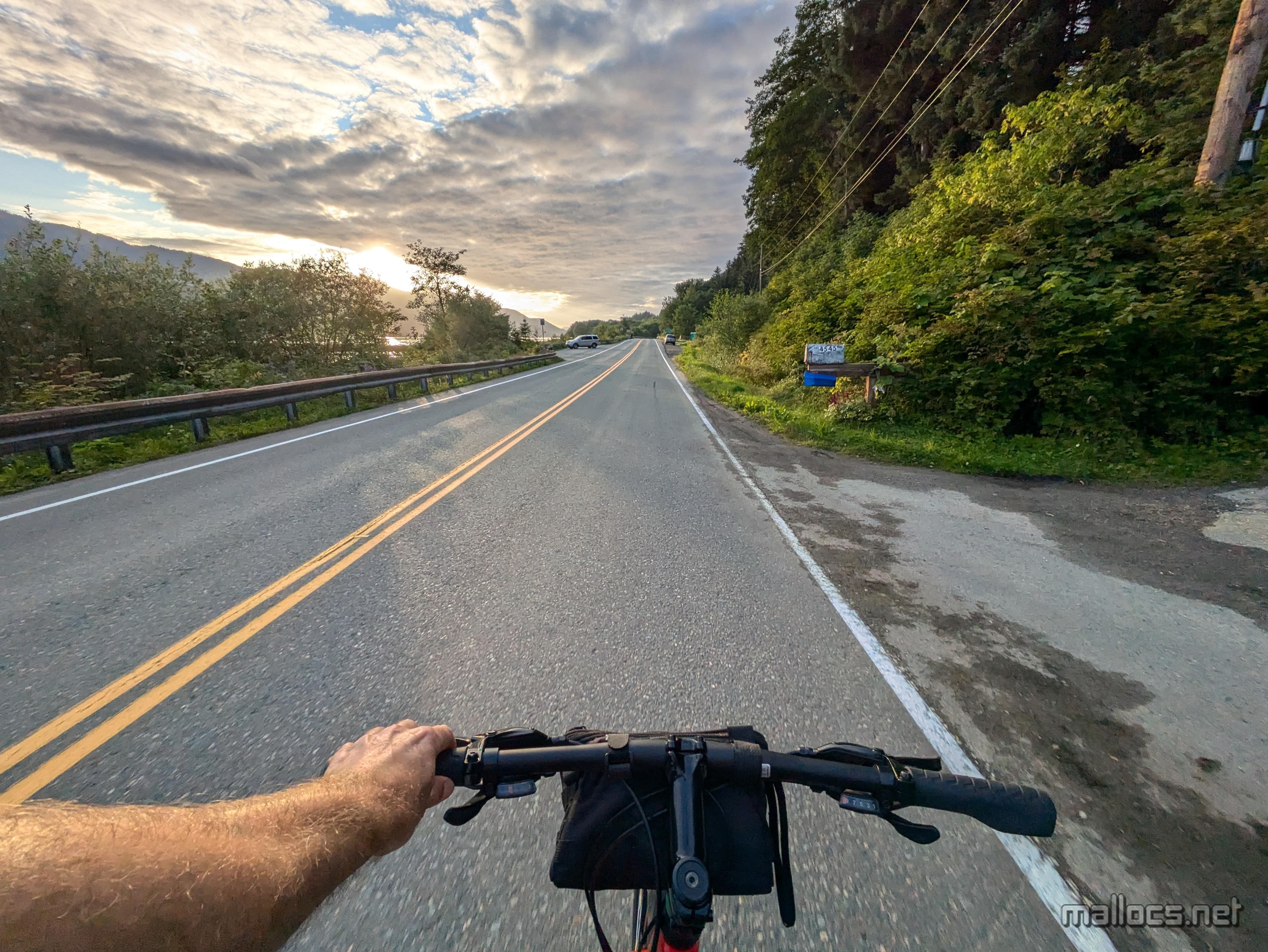
A nice sunset to end the day.
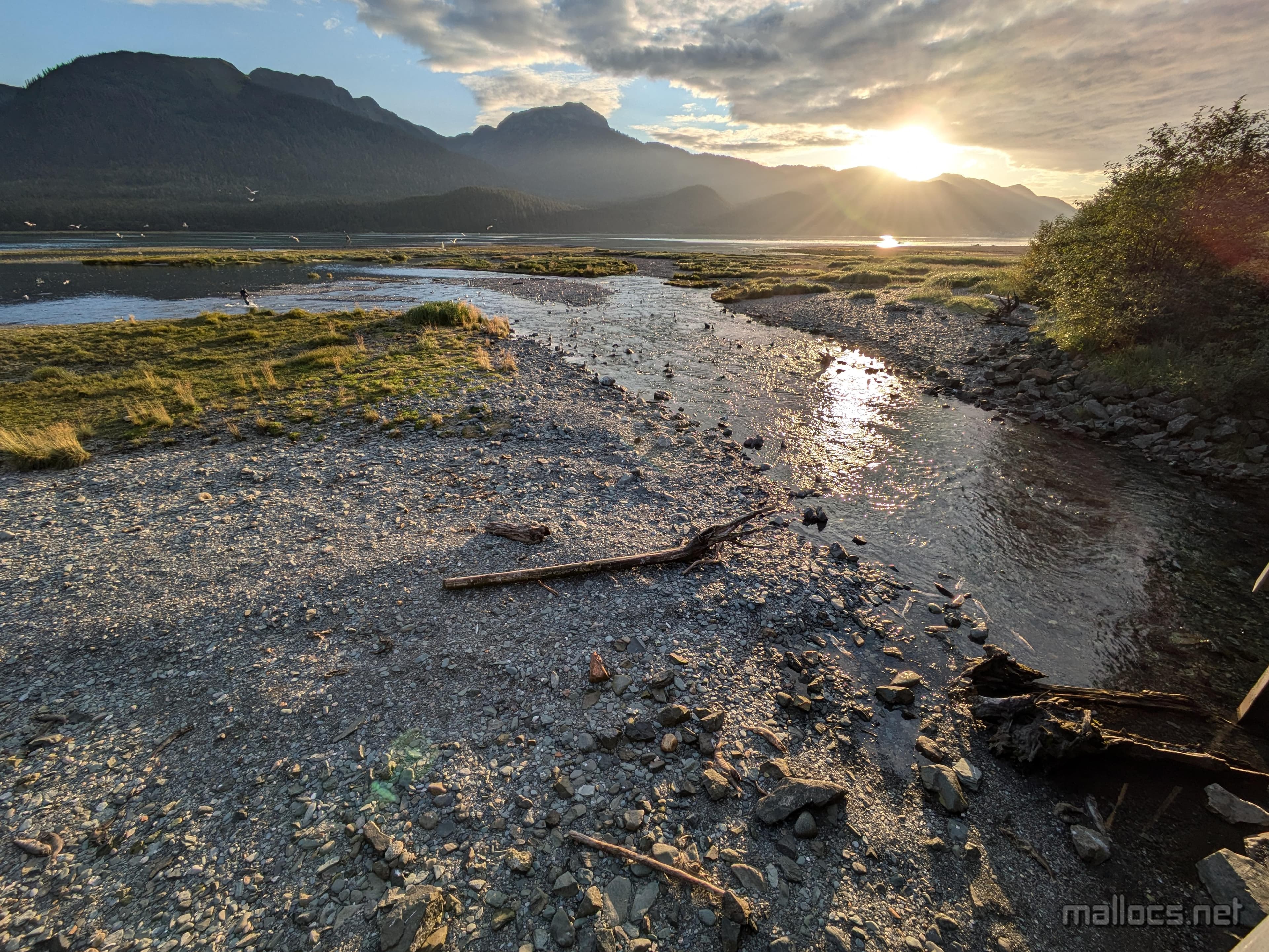
beautiful and stinky
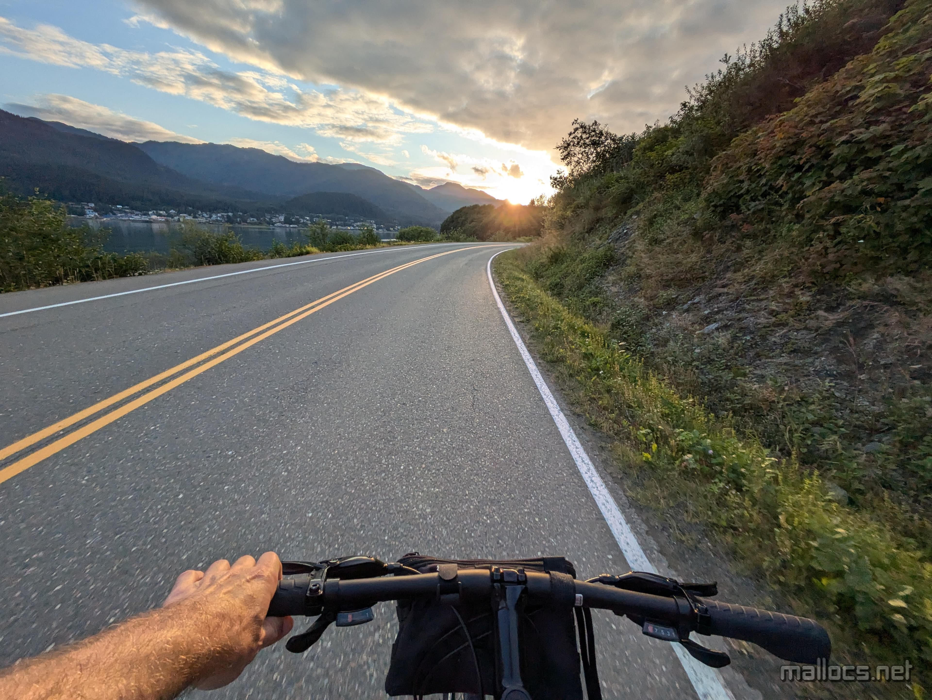
almost back